
Climate change is altering the conditions that mountain communities, farmers and herders, public institutions, and economic sectors rely on to make decisions. Coordinated by the World Meteorological Organization (WMO) and funded by the Adaptation Fund, the ENANDES project—Enhancing Adaptive Capacity of Andean Communities through Climate Services—operates in Chile, Colombia, and Peru. It brings national meteorological and hydrological services together with users to co-develop climate services, matching scientific knowledge to the needs of specific places and communities.
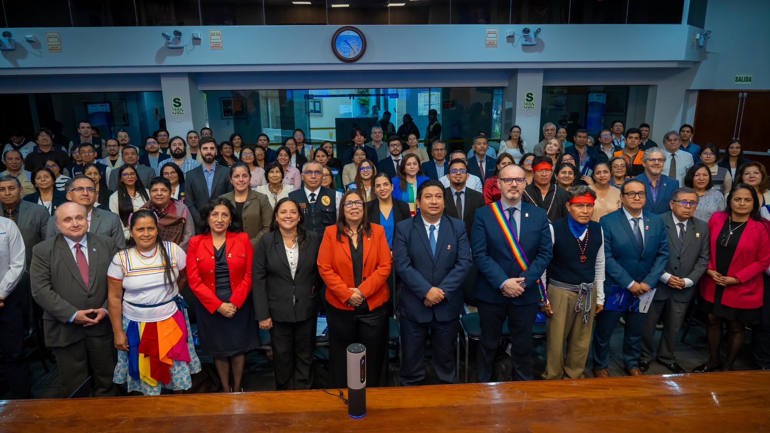
The project’s most important lesson is that timely climate information is not enough. Information must be accessible, relevant, and appropriate for the decisions it is meant to support. Rather than delivering scientific data one-way to communities, ENANDES brings farmers, Indigenous communities, public institutions, and researchers into the design process. The project stresses dialogue and collaborative development, with approaches that differ from country to country.
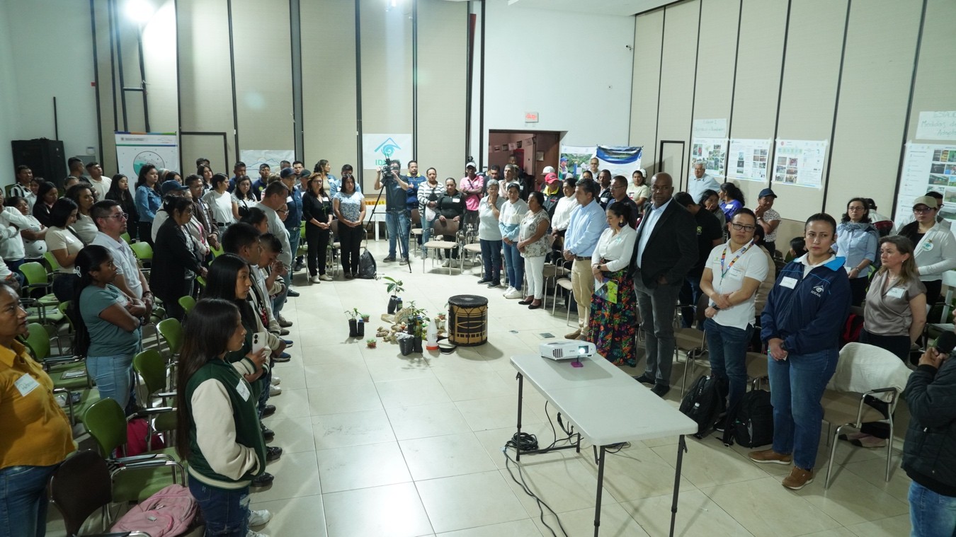
Colombia offers a strong example of this principle in action. IDEAM, Colombia’s Institute of Hydrology, Meteorology and Environmental Studies, worked with agricultural and Indigenous organizations in the Cauca region to set up a community agroclimatic consultation mechanism, creating a space where scientific knowledge and local experience meet. In 28 rounds of exchange, more than 1,100 people took part in discussions and the production of agroclimatic bulletins, helping bring climate information closer to real-life decisions.
From a meteorological monitoring and applications perspective, services of this kind depend heavily on combining data with context. The Andes feature complex terrain and huge elevation differences, so sparse conventional monitoring networks are not enough to capture mountain microclimates. Low-cost, easy-to-maintain automatic weather stations and sensors need to be installed in priority communities and agricultural zones, and then integrated with radar, satellite, and local knowledge to create a service chain reaching from continuous observation to climate applications. In operational practice, network design must also account for power, communications, and maintenance conditions in mountains, favoring low-power, long-life equipment that is easy to connect to platforms. Ultrasonic wind sensors and atmospheric electric field monitors can provide more granular information on severe convection and lightning hazards, helping communities make earlier decisions around key farming and outdoor activities.
These experiences show that climate services cannot stop at publishing data; they must become part of users’ decision-making. ENANDES leaves a cross-border legacy by giving national meteorological and hydrological services a development model that starts with the service user. In the Andes, where climate risks are increasingly complex, observation, communication, warning, and application must be connected in a single chain to translate data into decisions.
Source: World Meteorological Organization (WMO) (Link: https://wmo.int/media/project-update/from-data-decisions-enandes-legacy-strengthening-climate-services-andes)