
Climate services face a dual challenge at both ends of the data chain: critical gaps remain in Earth observation, and pressure on monitoring networks could widen these gaps; even where data do exist, they often fail to reach the people who need them, or arrive in forms that are not immediately usable. This is the problem the EU-funded iClimateAction project aims to tackle.
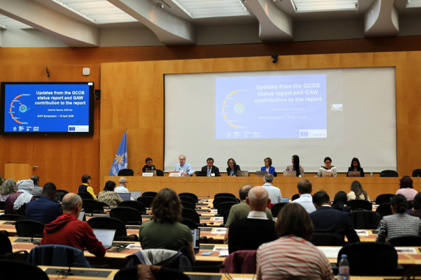
The iClimateAction project brings together the World Meteorological Organization (WMO), the Global Climate Observing System (GCOS), and the Group on Earth Observations (GEO) to strengthen the overall coordination of climate observing systems. Across a series of international exchanges held from April to July 2026, the message was consistent: coordination across institutions and programs is just as important as the science itself. Urban climate, for example, involves atmospheric composition, weather, climate research, and long-term observation; relevant expertise is fragmented across different systems, and only through systematic connection can the whole become greater than the sum of its parts. This view was echoed at the WMO Global Atmosphere Watch (GAW) exchange held in Geneva in 2026.
In a dedicated exchange on extreme heat, the project focused on cities. Cities already know that heat is a threat; what they need is decision-ready information: which areas to target, who is most vulnerable, and which measures work. This requires connecting satellite and meteorological observation data with health, housing, infrastructure, and vulnerability information. The exchange explored establishing a ‘Global Heat Resilience Service’, pooling information and expertise from different sources to help cities choose the tools and measures suited to their own circumstances.
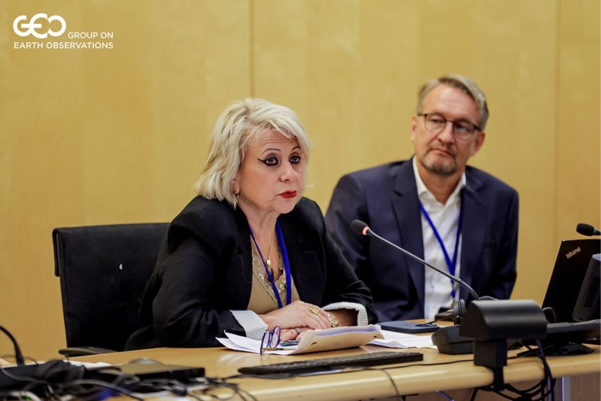
The GEO thematic exchange in June 2026 widened the discussion to the climate data chain as a whole. Participants recognized that filling observation gaps is only the first step; the entire chain, from data collection, processing, and transmission through to products and services, must also be connected, otherwise good data will still not translate into good decisions.
From a meteorological monitoring technology perspective, this process signals a shift from ‘building stations’ to ‘building an ecosystem’. High-density, multi-parameter ground sensor networks—including micro weather stations, ultrasonic anemometers, atmospheric electric field instruments for lightning warning, and water quality monitoring sensors—can fill observation gaps and provide ground validation for satellite data. At the same time, unifying data standards and opening interfaces to integrate meteorological observations with urban operations, public health, and infrastructure data is essential to delivering actionable climate services for risks such as extreme heat. The value of future climate services lies not in the data itself, but in turning data into action-oriented guidance along the decision chain.
Source: World Meteorological Organization (WMO) (link: https://wmo.int/media/project-update/connecting-dots-bringing-climate-data-together-action)
 Nepal Flood Cascading Risks Highlight High-Mountain Weather
 WMO Supports Five Countries in Strengthening Multi-Hazard Ea
 Cabo Verde Validates Early Warning Roadmap After Tropical St