
Lake Chad Basin Launches Five-Year Flood and Drought Early Warning Project
According to an October 2026 announcement from the World Meteorological Organization (WMO), the Lake Chad Basin Commission (LCBC), in partnership with Global Water Partnership Central Africa, has launched the five-year “Climate-Resilient Integrated Water Resources Management and Early Warning System in the Lake Chad Basin” project, backed by US$11,665,500 in Adaptation Fund financing. The project will help Cameroon, Niger, Nigeria, Chad, and the Central African Republic anticipate and manage floods and droughts, alerting at-risk communities earlier. These hazards threaten more than 50 million people across the basin.
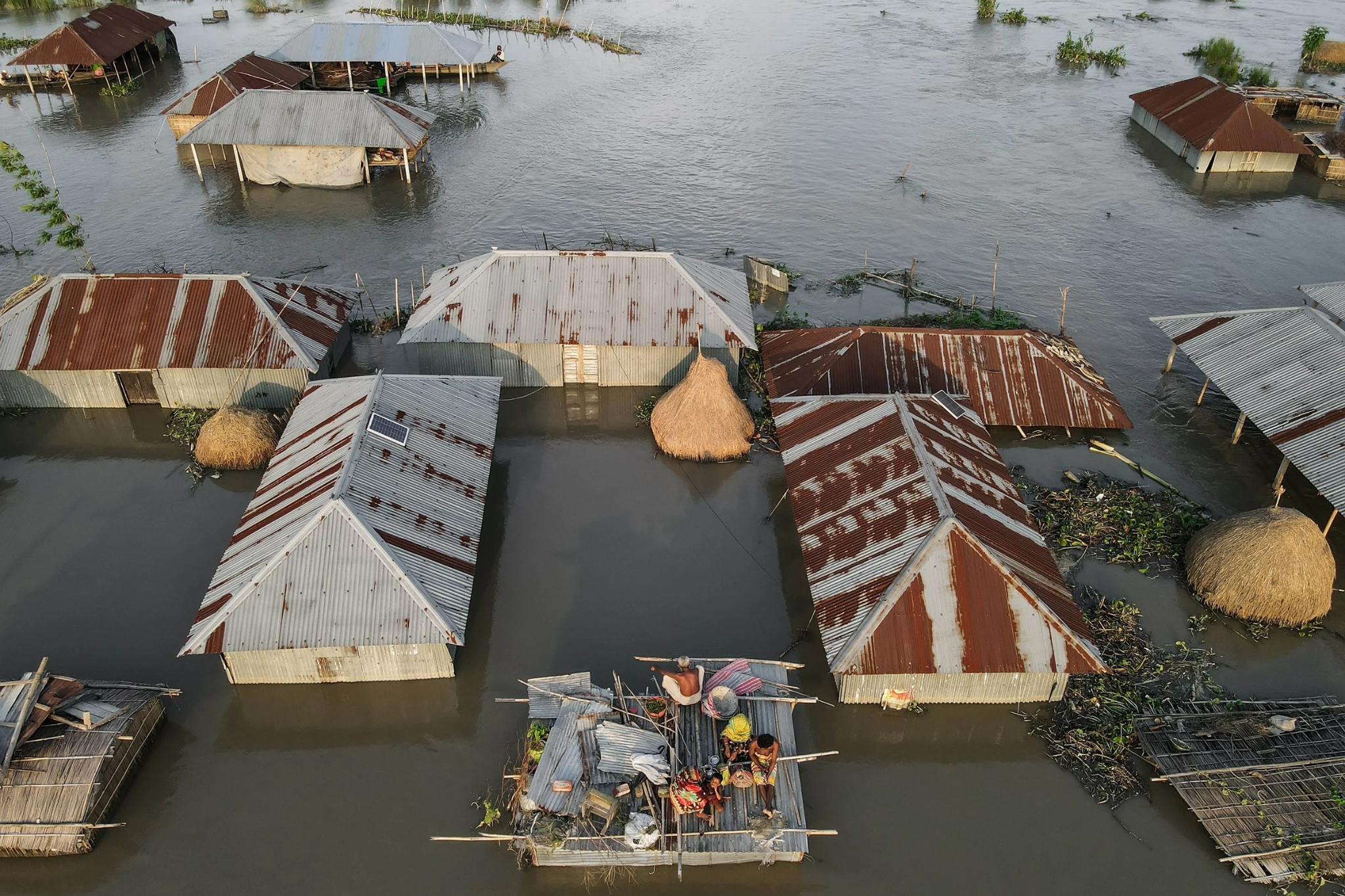
Frequent Floods and Droughts Endanger 50 Million People in the Basin
Between 1970 and 2020, the basin endured more than 48 flood and drought disasters, affecting over 31 million people and killing nearly 4,000, destroying crops, harvests, and livestock, and intensifying water-scarcity-driven tensions and social conflict. With droughts and extreme floods expected to become more frequent and severe, and the basin’s population projected to double over the next 30 years, the pressure on disaster preparedness continues to mount.
Shrinking Observation Networks Constrain Flood and Drought Warning Information
Since the 1980s, the basin’s weather and river monitoring networks have steadily declined, leaving governments and communities without the timely, reliable information needed to prepare for disasters in advance. Ambassador Ibrahim Babani, Executive Secretary of the Lake Chad Basin Commission, said the basin cannot protect its people from “invisible” flood and drought hazards, and that the project will deliver the shared data, forecasts, and warnings its member states need, supporting earlier and coordinated joint action.
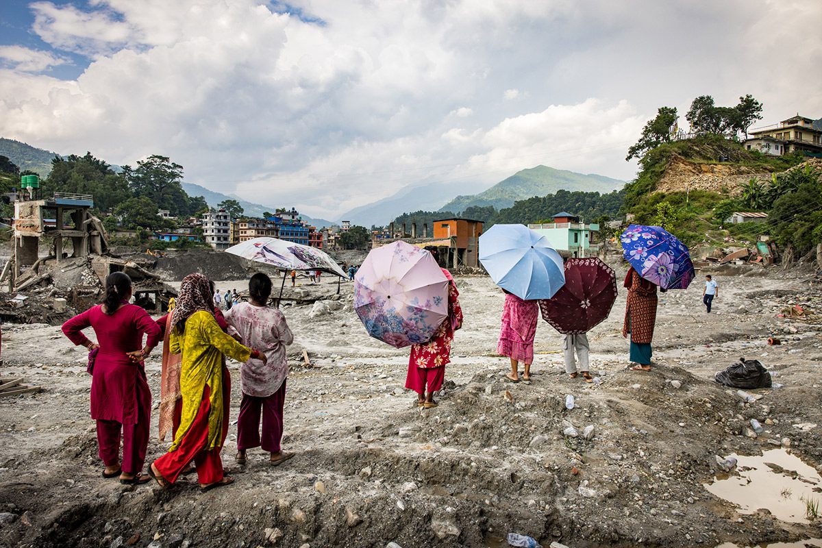
Rehabilitating Hydrometeorological Networks and Building Cross-Border Early Warning Mechanisms
The project is structured around four priority areas: strengthening the regional hydrometeorological observation network and information systems by rehabilitating or building new weather and river monitoring stations to better measure rainfall, river, and lake conditions; identifying user needs and developing hydrometeorological products and services, including flood and drought forecasts and a cross-border early warning mechanism; and raising awareness among decision-makers, legislators, and water users of hydrometeorological information and services, while delivering usable, actionable warning information.
Industry Insight: Ground-Based Observation Is the First Line of Defense for Basin Warnings
From an industry perspective, cross-border basin early warning rests on a simple premise: the hazard must first be “measurable.” Only by restoring and densifying ground-based observations of precipitation, water level, wind speed and direction, and other variables can coupled hydrometeorological forecasting and warning dissemination be sustained. Low-power automatic weather stations, ultrasonic wind speed and direction sensors, and similar instruments are becoming core infrastructure for basin water resources management and disaster warning; only when observation hardware and data services work in tandem can a complete closed loop from monitoring to warning be achieved.
This kind of multi-parameter, real-time monitoring demand in river basins is a typical use case for products such as the compact weather station from WeatherFine Technology, which provides automated observation of precipitation, wind speed and direction, and other key parameters.
Source: World Meteorological Organization (WMO) (link: https://wmo.int/media/news/lake-chad-basin-project-aims-earlier-warnings-of-floods-and-droughts)
 Sierra Leone Unveils Five-Year Meteorological Strategy to Cl
 Greenhouse Gas Concentrations Hit New High, Locking In Centu
 Vietnam Leads ASEAN El Niño Response as Monitoring Coordinat